Mission SAOCOM for monitoring the environment and other areas of interest for our country


August 18, 2020
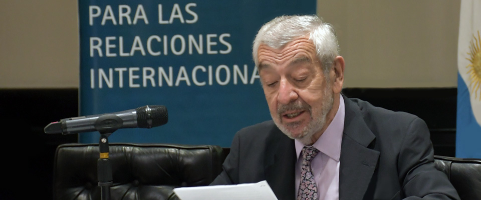
Academic session conducted by Laura Frulla
By María Florencia Avena, Volunteer for the Communication Division
Dr. Laura Frulla, physicist and researcher in charge of the SAOCOM mission, presented the main characteristics and utilities of the project in a new virtual academic session through the Committee on Environmental Studies and Human Development on August 18th while the second Argentinean satellite awaits its launch in Cape Canaveral.
It is an activity through the National Space Plan (PEN), developed by the National Commission for Space Activities (CONAE), whose main objective is to generate satellite information that underscores the productive and socio-economic activities of our country, and in turn, to provide information in the service of the planet's environmental emergencies.

Ambassador Elsa Kelly, Director of the Committee in charge of the meeting, appreciated the presentation in advance and argued that CONAE's activities should be taken advantage of to improve the generation of knowledge on environmental protection and greenhouse control.
"The premise of the mission is to transform data into information", Frulla said. This is achieved from the design of models that describe the different phenomena based on the needs of the uses and the Information Sectors considered in the PEN. These include three major areasL agriculture, hydrology, and environmental emergencies. Satellite images show data on soil moisture conditions, floods, and vegetation conditions.
But our SAOCOM 1A and 1B are not the only ones inhabiting outer space, they share this journey with four Italian satellites, the COSMO Sky Med-X. This constellation of devices forms the Italian-Argentine System of Satellites for Emergency Management (SIASGE), and the characteristics of each one allows the analysis of data at different scales and radars. In this sense, the challenge is to integrate them operationally to enrich the scopre of the studies, "the idea is to bring out the best of every system", said Dr. Frulla.
The beneficiaries are millions and the utilities are multiple. Frulla summarized them in recent research in which both systems converged. From the sample of a map of the city of San Carlos de Bariloche one could observe differences in the urban layout, greenish tones indicating areas with low vegetation, violet tones indicating areas with trees, and finally planted trees, whose species can also be recognized. This type of data was used to develop a Digital Elevation Model, which can facilitate processes such as route and road layout, hydrological resource modeling, low and high zone characterization, urban planning, support for engineering works, among others.
As for agriculture, from the soil moisture study, useful data can be relieved for planting, fertilization, irrigation and control processes of some pests, such as fusariosis in wheat. By entering the geographic coordinates of their batch, the user obtains indices that allow him to monitor crop growth, optimize fertilizer use, and make a yield estimate.
Weather conditions do not interfere with imaging, and all points in the globe can be observed. From the hydrological model, designed together with the National Water Institute (INA), support has been provided to river studies, as it allows to identify recurring flood zones, drought zones, and wetland monitoring. This is essential within the context of fires in the Delta and other regions of the country, which urgently demand a law that protects ecosystems and species diversity. SAOCOM satellites have the capacity to generate maps of forest areas and their monitoring, enabling early fire detection. In terms of application on snow and glaciers, maps can be generated to prevent runoff, produce hydropower, and monitor glacier behavior. In navigation, work is under way on detecting objects and supporting Emergencies at Sea; "dark spots" that in some cases may indicate oil spills are also studied. It is possible to detect deformations in large engineering works, such as the sinking of 5 mm of the surface around the H line of the city of Buenos Aires underground. And the list could extend infinitely.
|
|


|